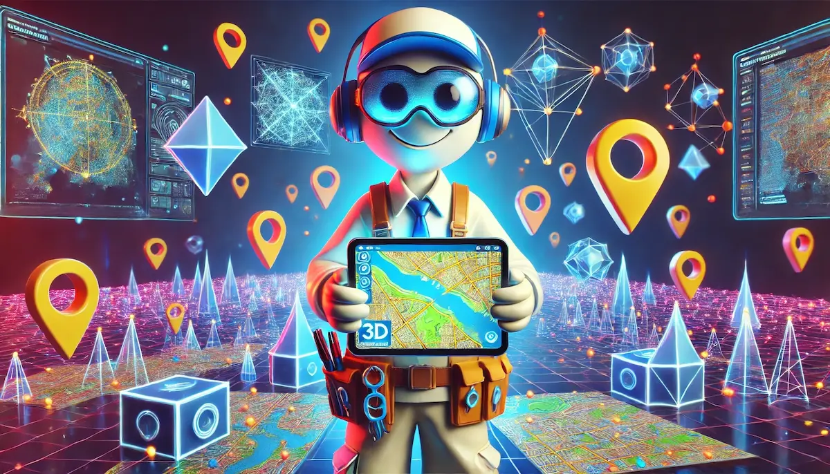
3D mapping is an advanced technology that brings a new dimension to how we visualize and understand the world around us. By creating three-dimensional representations of objects and spaces, 3D mapping provides more detailed and realistic views than traditional two-dimensional maps. Let’s explore the essentials of 3D mapping, including its methods, applications, and significance.
What is 3D Mapping?
3D mapping involves creating digital three-dimensional models of physical environments. These models capture the depth, height, and spatial relationships of objects and features, offering a more comprehensive view of the area being mapped. 3D mapping can be used for a variety of purposes, from urban planning to entertainment, and relies on advanced technologies to collect and process spatial data.
Key Technologies in 3D Mapping
Several key technologies are integral to the creation and use of 3D maps:
1. LiDAR (Light Detection and Ranging)
LiDAR technology uses laser pulses to measure distances to the Earth’s surface. By calculating the time it takes for the laser pulses to return to the sensor, LiDAR creates detailed 3D models of the terrain and structures.
2. Photogrammetry
Photogrammetry involves taking multiple photographs of an area from different angles and using software to stitch these images together into a 3D model. This technique is often used in aerial mapping and for creating 3D models of buildings and landscapes.
3. Drones
Drones equipped with cameras and LiDAR sensors are increasingly used for 3D mapping. They can capture high-resolution images and data from various altitudes and angles, making them ideal for mapping hard-to-reach areas.
4. Satellite Imaging
Satellites can provide extensive coverage and high-resolution images that are crucial for creating large-scale 3D maps. Advanced satellite imaging can capture detailed information about the Earth’s surface and structures.
Applications of 3D Mapping
The applications of 3D mapping are diverse and span many fields:
1. Urban Planning and Architecture
3D mapping is invaluable in urban planning and architecture. It helps planners visualize proposed developments, assess the impact of new structures, and design more efficient and sustainable cities. Architects use 3D models to create realistic renderings of buildings and to simulate different design scenarios.
2. Gaming and Virtual Reality
In the entertainment industry, 3D mapping is used to create immersive environments for video games and virtual reality experiences. Detailed 3D models of real-world locations can be used to build realistic game worlds and virtual tours.
3. Environmental Monitoring
3D mapping plays a crucial role in environmental monitoring and conservation. It helps scientists study changes in the landscape, monitor deforestation, track wildlife habitats, and manage natural resources.
4. Disaster Management
3D maps are essential tools in disaster management and emergency response. They provide accurate and detailed information about the terrain and infrastructure, helping responders plan evacuations, assess damage, and coordinate relief efforts.
5. Navigation and Transportation
3D mapping enhances navigation systems by providing more detailed and accurate representations of roads, bridges, and buildings. It aids in route planning and improves the safety and efficiency of transportation networks.
Advantages of 3D Mapping
3D mapping offers several advantages over traditional 2D mapping:
1. Enhanced Visualization
3D maps provide a more realistic and detailed view of the environment, making it easier to understand spatial relationships and the impact of different features.
2. Improved Accuracy
By capturing depth and height information, 3D mapping offers more precise measurements and representations of objects and terrain.
3. Versatility
3D maps can be used for a wide range of applications, from scientific research to entertainment, making them a versatile tool for various industries.
The Future of 3D Mapping
The future of 3D mapping is exciting, with ongoing advancements in technology promising even greater capabilities. Innovations in artificial intelligence, machine learning, and sensor technology will enhance the accuracy, detail, and usability of 3D maps. As these technologies continue to evolve, 3D mapping will play an increasingly vital role in our understanding and interaction with the world.
3D mapping is revolutionizing the way we visualize and analyze spatial information. Its applications are vast and varied, offering new possibilities for innovation and improvement in numerous fields.
Blockfine thanks you for reading and hopes you found this article helpful.
